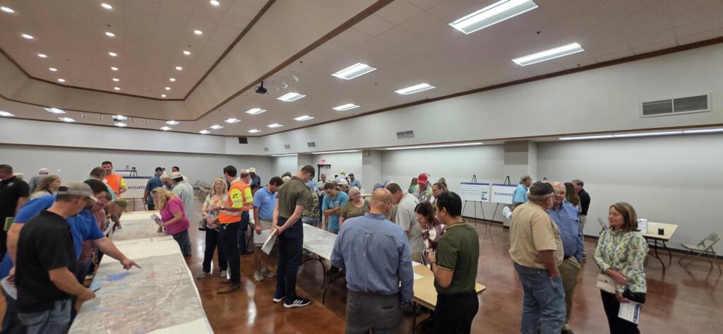
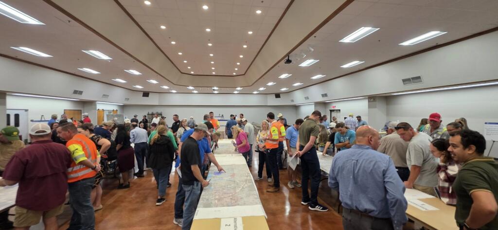
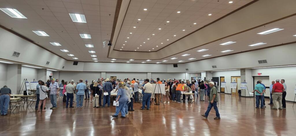
Here’s some of our observations from today’s public information meeting about the proposed road:
Scale of the Project
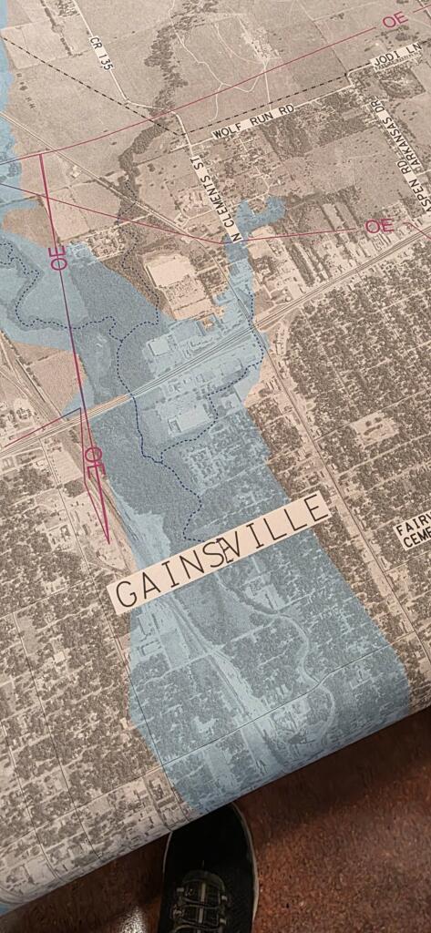
The proposed relief route is not a modest bypass, it is essentially a full freeway. The design calls for four main lanes (two in each direction) plus four frontage roads (two in each direction), requiring a 300-foot right-of-way.
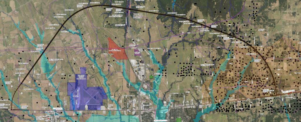
To put that in perspective, 300 feet converts ~36 acres of land per mile (so a 10–15‑mile segment would consume roughly 360–545 acres, primarily farmland and open space). Texas already has the most threatened agricultural land base in the country and is projected to convert ~2.2 million acres by 2040; a relief route accelerates that trend around Gainesville. The proposed road is extraordinarily wide, and the maps provided do not do justice showing how much land this represents. This road will divide family lands and consume significant amounts of North Texas’s already pressured agricultural base. Protecting farmland and rural livelihoods must remain a top priority. These lands, once lost, are not recoverable. Rural communities across Texas have paid dearly for unchecked development, and caution is warranted before committing to projects with such permanent consequences for our agricultural and natural environment.
Clarity and Knowledge Gaps
The TxDOT staff on hand were professional and approachable, but because the project is still in its earliest feasibility phase, many important details remain undefined. For property owners along the proposed corridors, one concern is that direct access will be limited. Drivers will likely need to travel to designated U-turns or frontage roads to change directions, which could complicate local circulation and daily routines.
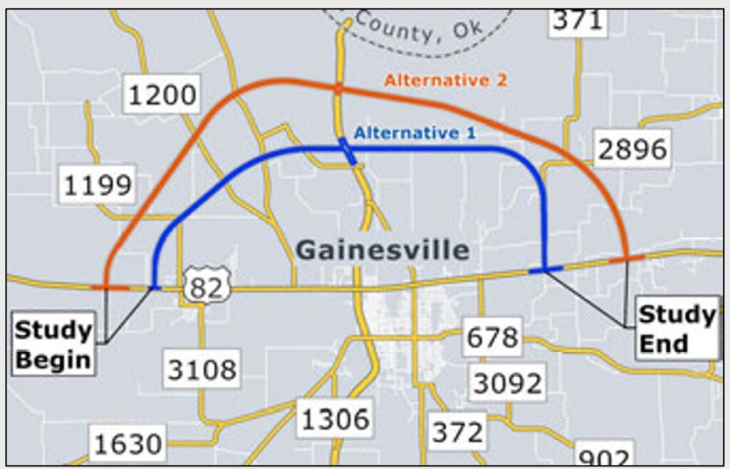
Who Initiated the Study?
It is important to note that this project was not unilaterally imposed by the State. The City of Gainesville and Cooke County requested that TxDOT conduct this study, and TxDOT in turn hired an outside consultant to prepare the initial concepts. Since the consultant’s internal analysis is not publicly available, it is unclear what precedents or data guided their conclusions. For example, the TxDOT staff present were unfamiliar with the Paris, Texas loop, which is highly comparable and should be analyzed carefully before assuming a loop would address Gainesville’s traffic challenges.
Quality of the Data Presented
The data supporting the project was underwhelming. Accident data covered only three years, which is insufficient to establish meaningful statistical trends. Even within that limited timeframe, the data does not demonstrate a clear pattern of escalating danger. Likewise, the reported traffic growth rate of 1.1% per year does not justify such a massive new facility. Proven, lower-cost strategies exist (such as RCUTs/J-turns, roundabouts, and access management) which Federal Highway Administration research shows can cut severe crashes by 54-82% without constructing an entirely new highway. Decades of empirical research also show that adding highway capacity induces more traffic over time, eroding congestion benefits and increasing both vehicle miles traveled and crash exposure.
Fiscal and Community Concerns
Given the modest traffic growth and lack of compelling crash data, we remain unconvinced that this project is a fiscally responsible solution. Some residents expressed concern that certain land development interests may stand to benefit disproportionately, as large tracts along the proposed routes have recently changed hands. While we should avoid speculation, it is fair to say the proposed solution feels mismatched to the actual scale of the documented problems.
Potential New Problems Created
There is also the risk of creating new safety and operational issues. TxDOT’s own Roadway Design Manual recommends two-mile minimum spacing between rural interchanges to avoid hazardous weaving and signing problems. A new US-82/I-35 interchange located so close to the existing one would require extensive justification (or expensive redesign features) to prove it will not compromise I-35’s safety and operations. Furthermore, because TxDOT now directly manages the NEPA process, it must demonstrate why a new right-of-way corridor is preferable to less intrusive, operations-focused safety improvements on the existing alignment.
Our Current Position
While many of our initial observations raise concerns, we are not yet taking a firm position for or against the project. This is an early stage, and more information is needed. But these are the first observations that we can share with our community. Feel free to comment or correct if you see any mistakes.